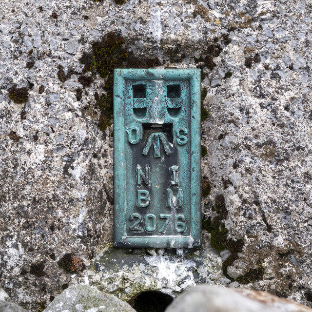
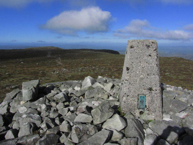
Cuilcagh [Binn Chuilceach]

Cuilcagh [Binn Chuilceach]

Cuilcagh [Binn Chuilceach] Group Walks | Join a Walk

666m Elevation
605m Prominence
I Country

Join group walks, find walking companions and friends, or organise your own!

Classifications

Marilyn Sim Hewitt Dillon Arderin Vandeleur-Lynam County Top (Historic) County Top (Current)

Looking for walking companions?

Don't walk alone! Find friendly walkers to explore Cuilcagh [Binn Chuilceach] together. Join scheduled group walks or start your own.

Elevation

666m

2,185 ft

Prominence

605m

Coordinates

54.2009, -7.8115

H123280

OS Map

26

At the Summit

The summit features a large stone cairn and a trig point, offering an ideal spot for a triumphant selfie.

Terrain & Geology

Boggy in places with rocky sections near the summit.

Cuilcagh is primarily composed of limestone, which has been shaped by karst processes, creating an intriguing landscape with unique features such as shake holes and underground rivers.

Views & Scenery

The breathtaking views of the surrounding countryside and Lough Erne from the summit are remarkable.

History & Heritage

Name Origin

The name 'Cuilcagh' derives from the Irish 'Cuilceach,' meaning 'the hill of the many corners.'

Historical Significance

Cuilcagh is not only a natural wonder but also holds cultural significance in local folklore.

Popular Routes

Cuilcagh Boardwalk Trail (Stairway to Heaven)

Moderate

This is the most popular and well-maintained route up Cuilcagh Mountain, featuring a wooden boardwalk that protects the fragile bogland. Starting from the car park at the Marble Arch Caves Global Geopark, the trail leads through rolling farmland and a blanket bog before ascending a staircase to the summit plateau. The boardwalk provides stunning views of the surrounding countryside and is a must-do hike for first-time visitors.

11 km 3.5 hours

Legnabrocky Trail

Moderate

This alternative route begins at the Legnabrocky Trailhead and follows a gravel path through the UNESCO-recognized Marble Arch Caves Global Geopark. Though less crowded than the boardwalk trail, this route also passes through the unique bog ecosystem and eventually joins the famous boardwalk for the final ascent to the summit.

12 km 4 hours

Cladagh Glen and Cuilcagh Summit

Challenging

Starting from the Cladagh Glen car park, this route incorporates a scenic woodland walk along the Cladagh River before linking with the Legnabrocky Trail. It offers a more varied hiking experience, combining riverside paths, forest trails, and open mountain landscapes. The route joins the boardwalk for the final stretch to the summit.

14 km 4.5 hours

Cuilcagh from Florencecourt

Challenging

This longer and more strenuous route begins at Florencecourt Forest Park. The trail traverses forest paths and open moorland before ascending towards the summit. It offers a quieter alternative to the busier boardwalk routes and rewards with spectacular views and a sense of accomplishment.

18 km 6 hours

Cuilcagh Circuit via Gortalughany Viewpoint

Challenging

This circular route starts at the Gortalughany Viewpoint and combines elements of the Legnabrocky Trail and other less-trodden paths around the mountain. It offers a more remote experience, showcasing the wild beauty of the Cuilcagh uplands and including the boardwalk ascent to the summit.

16 km 5.5 hours

Getting There & Facilities

Parking

Legnabrocky Car Park, which provides ample space for visitors and is located at the trailhead.

Public Transport

Limited public transport options exist; best to drive or arrange a lift.

Nearby Facilities

Facilities are basic; however, several local cafes in Blacklion offer refreshments before or after your adventure.

Safety Information

Known Hazards

  • Boggy sections can be slippery, especially during wet conditions. Proper footwear is highly recommended.

General Safety Tips

  • Check weather conditions before setting out
  • Carry appropriate clothing and equipment
  • Let someone know your planned route
  • Take a map, compass, and GPS device
  • Carry emergency supplies: food, water, first aid kit, torch

Find Walking Companions

Join friendly walkers exploring Cuilcagh [Binn Chuilceach] and surrounding area

Can't find a walk? Organise your own!

Create a walk and let others join you. It's free and easy!

Hills

Some common questions about the hills answered

Are there group walks up Cuilcagh [Binn Chuilceach]?

Many walkers use Walkmates to join or organise walks with others. You can check for group walks around Cuilcagh [Binn Chuilceach] through the maps

Are there other walkers around Cuilcagh [Binn Chuilceach]?

Activity varies by location and time, but Walkmates lets you see whether others have shared walks or shown interest in this area. Find other people through the walking friends search walking friends for Cuilcagh [Binn Chuilceach] search or of course create your own walk for Cuilcagh [Binn Chuilceach]

Can I organise a walk to Cuilcagh [Binn Chuilceach]?

Yes. If there aren’t any walks listed already, you can create a walk and make it available for others to join.

If you're signed up to Walkmates, you can create a walk to Cuilcagh [Binn Chuilceach].

How do I find a walk up this hill?

There are often multiple ways to walk this hill, depending on experience and route preference. Walkmates helps you explore walks and routes that others have shared.

Can I suggest a new route up Cuilcagh [Binn Chuilceach]?

Yes. You can suggest or create routes to share with others. Walkmates focuses on the social side of walking, so routes are used to help people organise walks and explore areas together, rather than as detailed navigation tools or route libraries.

Other uses really appreciate knowledgeable walkers sharing their routes. Share your favourite route to Cuilcagh [Binn Chuilceach] here

The is an error or something incorrect about this hill. How do I let you know?

We always strive to keep the information on Walkmates as accurate as possible. If you find an error, please let us know through the contact form and we'll aim to correct it as quickly as possible